One of the striking realities of Israel is its very limited geographical footprint. The stories become more real as I read them when I realize how the distances are not that great. Yes, they traveled by foot and that made the journeys longer in time, but to travel Israel today helps shorten up the space in the biblical accounts.
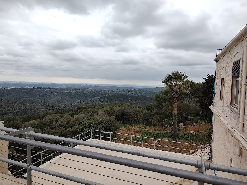
The picture below is taken from the top of the monastery at Carmel in northwest(ish) Israel. The Mediterranean Sea was visible that day in the distance.
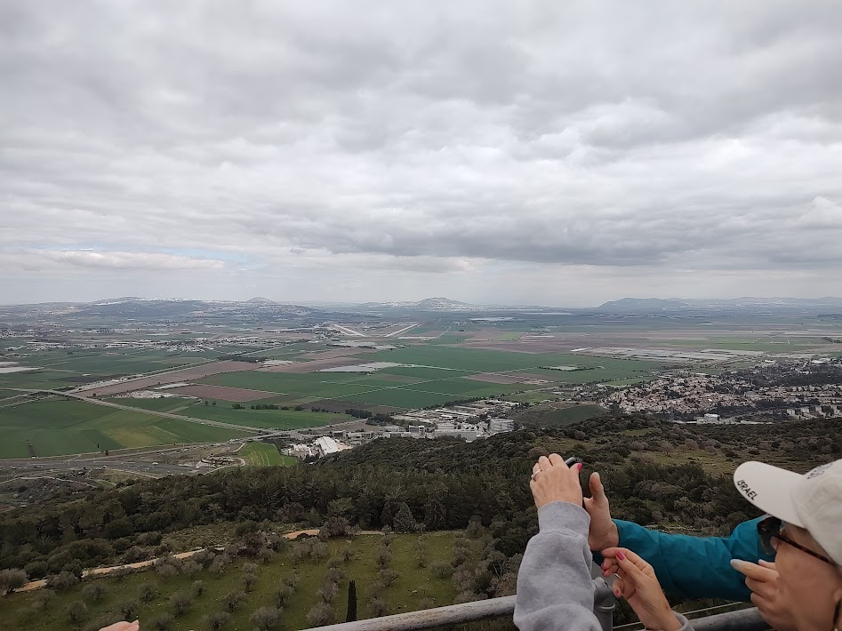
The next picture is of the Valley of Megiddo just below the mountain where we stood and in the far distance that day we could see a mountain range that was the border to modern day Jordan.
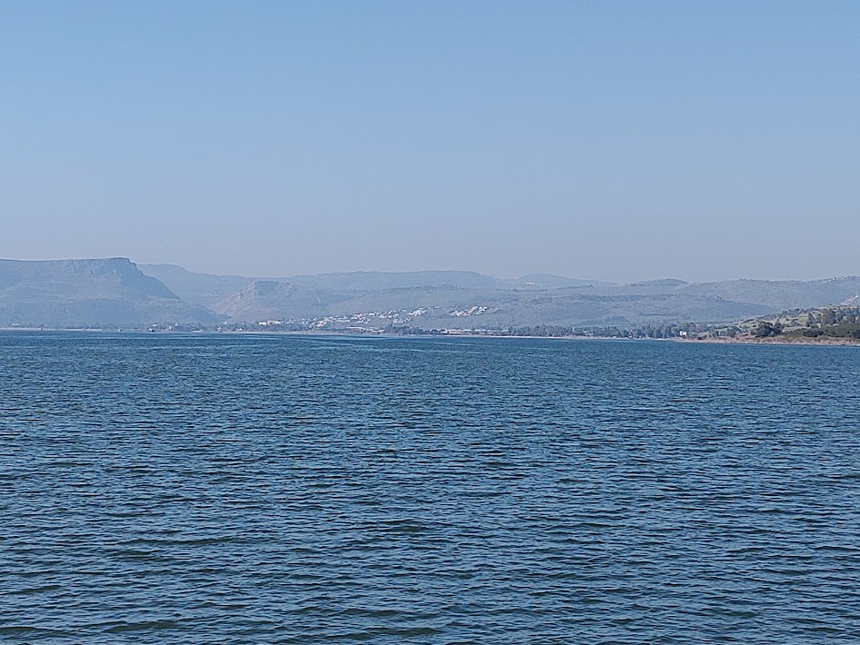
Galilee is a lake… and a small one. To get from one side to the other is not a big deal. The area of Jesus’s main ministry is very small.
Capernaum, Jesus’s main base of ministry while in Galilee, also makes sense geographically. It is a border town with other territories. It is a crossroads. The fishing industry is right there, so a quick walk to the lake would have caused Jesus to meet Peter, Andrew, James, and John very quickly. Matthew would have been there as a tax collector because those places were set up when border crossings existed and tax was collected to enter the new territory.
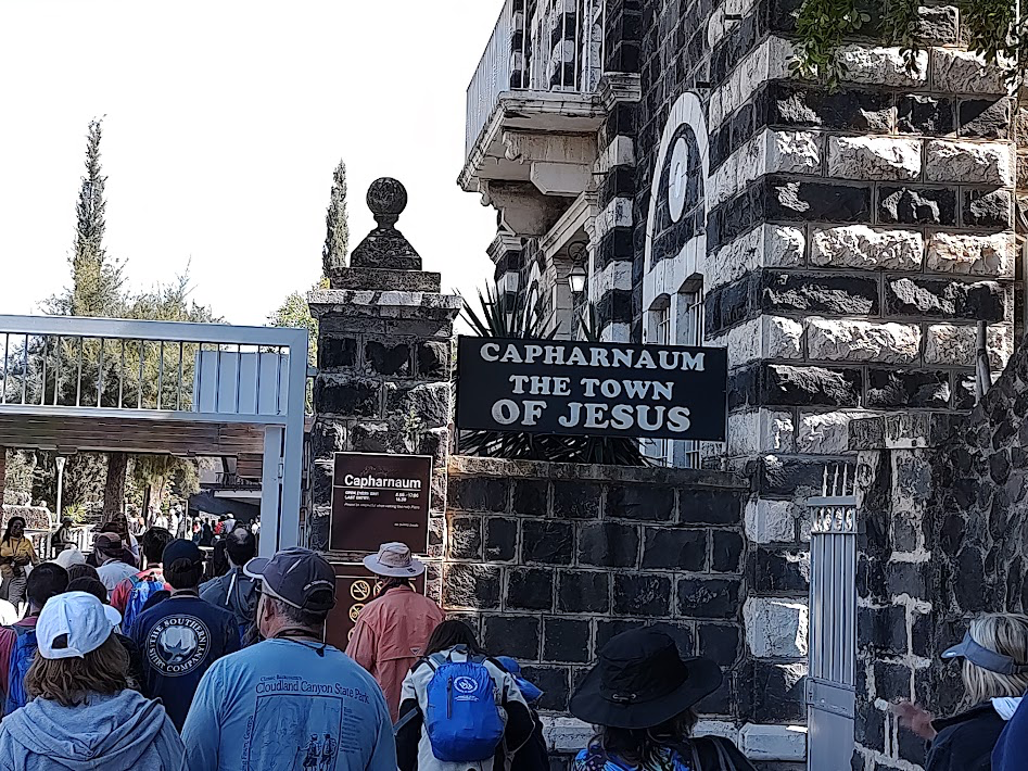
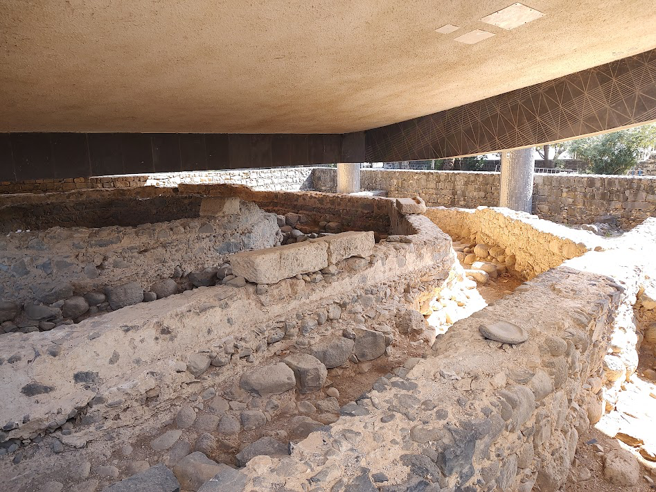
The city of Capernaum would have been a good sized town with the commerce and highway. Still, the compact area of the city with narrow streets is amazing.
This was the first place I stood where I could imagine in my mind that as I looked at there remains of a house that could very well have been Peter’s house, crowds from that ancient time were brushing by. It was as if I could sense Peter brushing by… James brushing by… Jesus brushing by…
I was thankful for a few minutes next to the shore of Galilee and near the excavation of Peter’s house that I could sit and imagine and worship.


Leave a comment